0
Satisfied Customers
GPS Tracking App
Build scalable location tracking platforms for fleets, vehicles, assets, employees, field teams, logistics businesses, and connected devices.
Techanic Infotech develops GPS tracking applications that help businesses monitor vehicles, assets, field teams, equipment, and connected devices through real time location data and structured operational workflows. We build platforms for live tracking, route history, geofencing, trip monitoring, driver activity, asset status, location alerts, fleet dashboards, device management, reports, maintenance information, notifications, and administrative controls. Our development approach focuses on reliable location updates, scalable tracking architecture, secure device communication, clear map experiences, configurable alerts, and flexible integration with GPS hardware, telematics devices, mobile sensors, and third party location services.

GPS tracking platforms require reliable location data, secure device connectivity, responsive maps, configurable alerts, scalable data processing, and clear operational visibility.
We provide GPS tracking app development services for logistics companies, transportation businesses, fleet operators, delivery companies, construction firms, equipment businesses, field service providers, rental companies, and IoT startups.

Build custom GPS tracking software around your vehicles, assets, devices, user roles, tracking frequency, service areas, geofences, reports, alerts, integrations, and operational requirements.
Whether you are planning a fleet tracker, vehicle monitoring system, asset tracking platform, field service solution, or IoT location product, Techanic Infotech can help define tracking workflows, device integrations, maps, geofences, alerts, reports, security, and scalable architecture.

GPS tracking businesses operate across different devices, assets, industries, tracking frequencies, service areas, and operational models. We build solutions around how location data is collected, processed, displayed, and used.
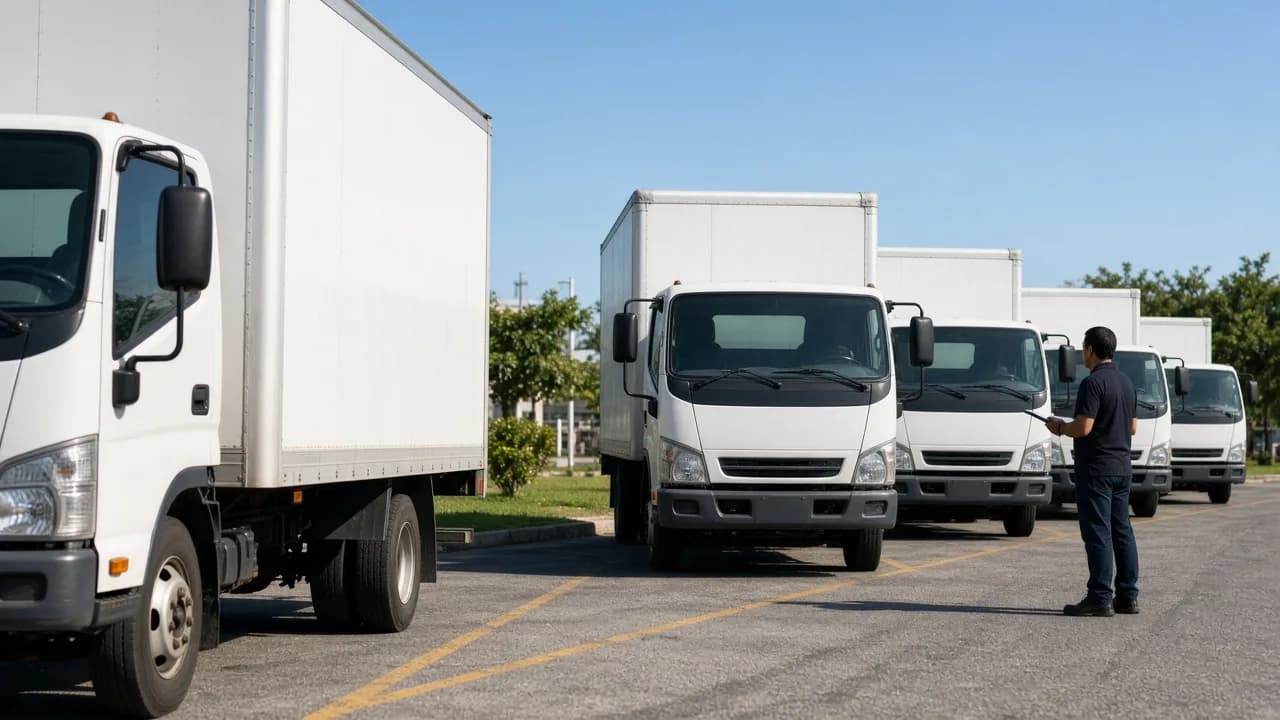
Build centralized systems for commercial fleets with live vehicle locations, driver assignments, routes, trip history, geofences, alerts, maintenance information, and reporting.
GPS tracking platforms may process precise location data, device identifiers, driver information, employee activity, asset records, route history, and operational data. Security, privacy, consent, and workforce requirements should be designed around the intended use case and applicable rules.
Collect only the location, device, vehicle, asset, and operational information required for supported tracking functionality.
Support secure login, account recovery, session controls, and configurable authentication for users and administrators.
Separate permissions for drivers, employees, fleet managers, dispatchers, operations teams, customers, and administrators.
Restrict access to live location, trip history, geofence activity, user location, and other sensitive geographic data.
Support configurable consent, tracking status, visibility, and permission workflows where location tracking involves individuals or personal devices.
Use secure device registration, tokens, keys, or other supported mechanisms for GPS hardware and connected trackers.
Limit who can create, edit, activate, or review restricted, operational, delivery, customer, or service area geofences.
Maintain histories of selected user activity, permission changes, device assignments, geofence changes, and administrative actions where needed.
Apply suitable encryption practices for sensitive information in transit and, where appropriate, at rest.
Test authentication, device communication, maps, location feeds, permissions, geofences, APIs, alerts, reports, and administrative functions before launch.
Techanic Infotech can develop original GPS tracking software inspired by familiar fleet and location management experiences while using custom branding, workflows, architecture, interfaces, integrations, and source code without copying proprietary technology or protected assets.

Tap to flip and read details
Build an original fleet visibility platform with live vehicle maps, driver activity, routes, alerts, maintenance information, and operational analytics.

Tap to flip and read details
Develop a fleet tracking solution with vehicle location, route history, driver information, geofences, reports, and operational dashboards.

Tap to flip and read details
Create an original telematics platform with vehicle data, GPS tracking, trip information, driver activity, device integrations, and fleet reporting.
Tap to flip and read details
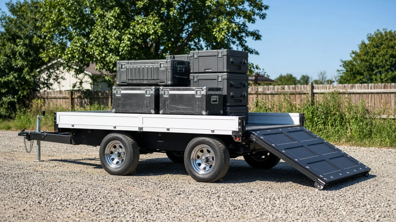
Build a connected fleet and asset tracking platform with vehicle locations, asset monitoring, routes, alerts, work activity, and reports.

Tap to flip and read details
Develop an original GPS tracking experience supporting connected devices, live location, tracking history, geofences, events, alerts, and user permissions.
The following conceptual examples illustrate GPS and location technology products that can be developed for fleets, logistics businesses, asset operators, and field service organizations.
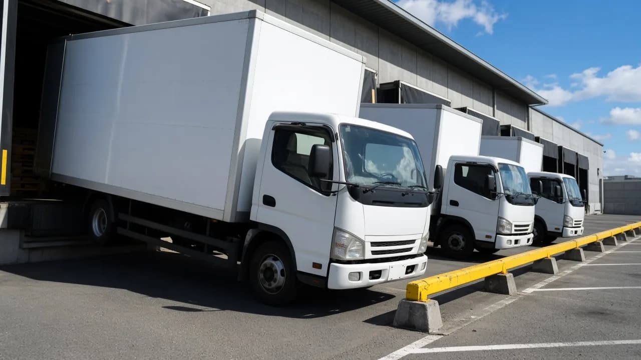
A commercial fleet tracking system with live locations, vehicles, drivers, trip history, geofences, alerts, maintenance information, and reports.

An asset tracking product for machinery, trailers, equipment, containers, and connected devices with maps, location history, alerts, and asset records.
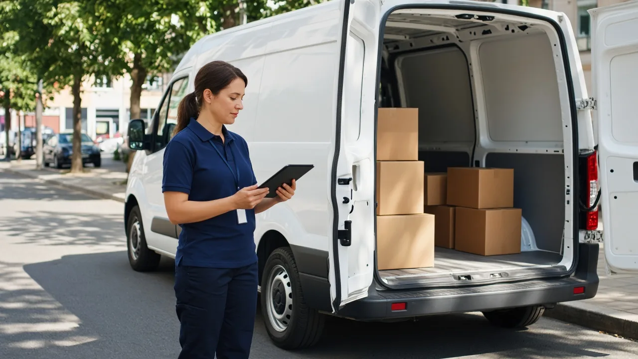
A logistics tracking solution with vehicle locations, route activity, delivery stops, geofences, ETA information, alerts, and dispatch dashboards.
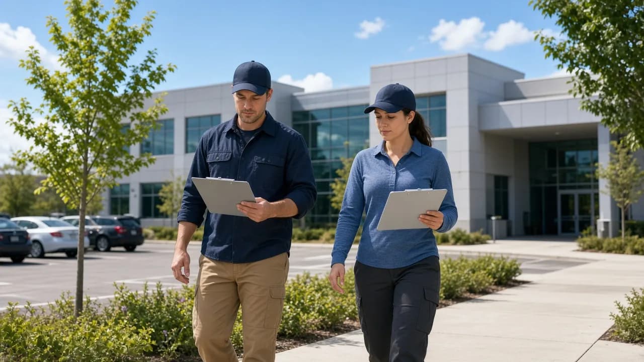
A field service location platform with employee schedules, job locations, check ins, routes, service status, and operational reports.

A construction and equipment tracker with machinery locations, site geofences, movement records, device status, assignments, and maintenance information.
GPS tracking platforms require coordinated functionality for tracking users, administrators, and fleet or operations teams.
Features that help authorized users monitor vehicles, assets, devices, or supported location activity.
Central controls for users, devices, permissions, alerts, and platform operations.
Tools for teams responsible for vehicles, routes, drivers, assets, and daily operations.
The final feature set should reflect tracking frequency, device types, fleet or asset volume, map requirements, alerts, geofencing, reporting, security, and integration needs.
Techanic Infotech is committed to delivering high quality software through strong engineering, transparent communication, and long term client partnerships. Our reputation is built on successful project delivery, client satisfaction, and continuous innovation across mobile and web application development.
Explore our verified client reviews, business profiles, technology expertise, and successful project deliveries to learn why businesses choose Techanic Infotech as their technology partner.
Techanic Infotech can help define tracking workflows, vehicle and asset structures, device connectivity, map experiences, location frequency, geofences, alerts, reports, permissions, integrations, security controls, and scalable architecture.
AI, IoT, geospatial intelligence, and automation can improve location visibility and operational planning when used with reliable tracking data and appropriate human oversight.
Analyze historical routes, trip patterns, stops, distance, and configured operational data to help teams review route efficiency.
Identify unexpected movement, route deviation, unusual stop activity, or location events for authorized team review.
Combine mileage, trip activity, vehicle information, device data, and maintenance history to help prioritize service requirements.
Organize entry, exit, dwell time, restricted area, and service zone events based on configured operational rules.
Use route, distance, traffic, location, and delivery information to help estimate arrival times for supported workflows.
Generate scheduled summaries covering trips, mileage, routes, stops, geofence events, utilization, and other configured tracking activity.
Analyze vehicle utilization, asset movement, route activity, idle periods, service zones, tracking events, and device health to support operational planning.
GPS tracking platforms can support several commercial models depending on whether they target fleets, individual users, logistics businesses, asset operators, or enterprise customers.
Create predictable recurring software income.
Charge customers monthly or annually according to the number of vehicles monitored through the platform.
Select a model on the ring to explore the revenue mix.
“Our platform needed live vehicle locations, trip history, geofences, and operational alerts in one place. The team helped organize those workflows without making the dashboard difficult for dispatch staff.”
“Reliable location updates and route information were central to our project. The development process stayed organized while we refined maps, alerts, and tracking frequency.”
“We needed to track equipment rather than just vehicles. The team created flexible asset profiles and device workflows that worked well for our operations.”
“Device integration and scalable location processing were important because our fleet was expected to grow quickly. The team kept the architecture flexible throughout development.”
GPS tracking applications combine maps, location feeds, devices, vehicles, assets, geofences, alerts, reports, and operational data. A capable development partner should understand how these components work together across real time tracking workflows.
We structure platforms around devices, vehicles, assets, location feeds, maps, trips, routes, geofences, alerts, permissions, reports, and operational dashboards.
Product strategists, UX designers, mobile and web developers, backend engineers, IoT specialists, quality engineers, and project managers collaborate throughout development.
Build tracking apps, fleet dashboards, administrative systems, backend APIs, device integrations, databases, maps, notifications, reports, and analytics as one connected product.
Develop functionality in structured stages so fleet managers, dispatch teams, field staff, product owners, and technical teams can review tracking workflows throughout implementation.
Select architecture around tracking frequency, device count, location event volume, map usage, concurrent users, alert activity, reporting demand, and future fleet growth.
Continue improving the platform through device integration updates, map changes, security enhancements, performance optimization, monitoring, new reports, additional tracking features, and fleet expansion.
GPS tracking platforms require technology capable of supporting real time location updates, connected devices, geospatial data, maps, alerts, analytics, and scalable event processing.
Swipe or tap to switch tech categories
We structure GPS tracking development around users, vehicles, assets, devices, location data, maps, geofences, security, analytics, and long term scalability.
We define tracking use cases, user roles, device types, vehicle or asset structures, update frequency, maps, geofences, alerts, reports, hardware integrations, security expectations, and business objectives.
These answers cover common questions about planning, developing, integrating, monetizing, deploying, and scaling GPS tracking applications.
Explore articles covering GPS tracking app development, fleet tracking software, vehicle tracking systems, asset tracking apps, telematics, IoT tracking, geofencing, route monitoring, real time location technology, and fleet analytics.